Thermal Drone
Surveys
Aerial thermography for facades, roofs, and large estates. Scaffold free, rope free, defensible.
Aerial thermography for facades, roofs, and large estates. Scaffold free, rope free, defensible.
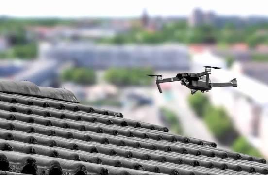
Thermal drone surveys use airborne infrared cameras to map heat signatures across the buildings you are responsible for. Where conventional inspection demands scaffold, MEWP, or rope access, a drone covers a twenty storey tower or a fifty acre estate in a single morning without anyone leaving the ground.
The thermal imagery is processed into geo referenced maps showing heat loss, missing insulation, water tracking through the build up, and envelope failures you cannot see from a ladder. It is captured at the right time of day, in the right weather window, and stored with timestamps so the data stands up later in a dispute or a funding submission.
Every flight is paired with high resolution visual imagery from the same pass, so a thermal anomaly is always tied to a photograph you can point at in a meeting.
Brief → Quote → Survey → Report. Thermal Drone Surveys sits in the Survey stage, and the findings carry straight through into the structured condition report.
See the full Brief to Report process, or send a short brief and we will scope it.
Send a short brief on the site and what the data needs to support. Scope and pricing back within a day, prior to any site visit.